Plain Head is located in the center of the Lut Desert in central Lut. The area is bounded on the north by the Shahdad to Nehbandan and the uppermost and muddy areas, on the west by the Clutz and Klotk region, on the east by the Rig Yelan and on the south by Hamur Shur Gaz and Lutzangi Ahmed or South Lut. This area is located at N 30 02 to N 31 06 and E 58 27 to E59 01 in Kerman and South Khorasan.
Read More ...
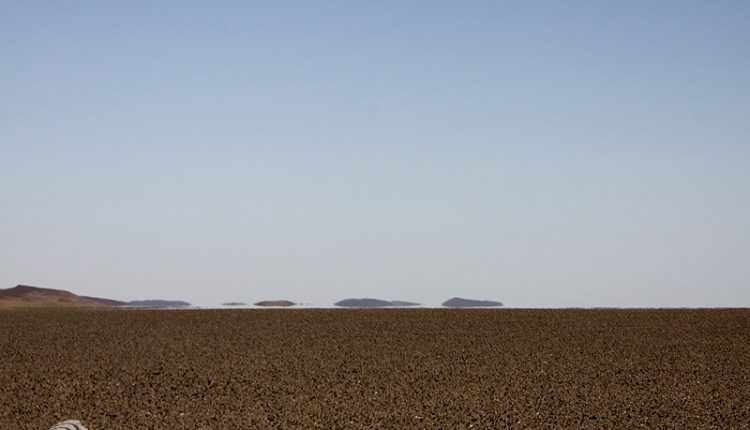
The Hamadas are actually plains covered by small, coarse-grained rocks, as if they were artificially clustered together to pave the desert, hence the so-called desert pavement. Wind erosion performance causes small particles of sediment and coarse rock to be transported over time and larger pieces that the wind cannot carry over a relatively long period of time accumulate and create a desert pavement landscape. The severe erosion of these rock fragments, especially their erosion due to the impact of sand particles in the wind, causes different shapes of these fragments and crustaceans, sometimes with sharp edges and edges known as windsurfing. This phenomenon is common throughout the plains of the central central and northern desert region of Lut (except for clays and clays) and has produced fascinating landscapes.
Estimates of sediment thickness of the Central Plain are estimated to be up to 3 m. These sedimentary layers are composed of sandstone, gypsum, and salt along with a layer of saline water that has dried over time. It is covered on the surface of the Hamadai Lot of Rigi plain. These small rocks were created by erosion of the igneous masses of north Lut. Also in this plain are flat surfaces without rock cover which is scattered in the plain. These areas are generally covered by dried lemons, hot water and salt dandruff. They are less elevated than the surrounding land. For example, near Mount Malik Mohammed, there are 3 identifiable levels, with a height difference between the primary level and the first terrace reaching up to 2 meters.
The drainage network from the shallow deep rivers extends from the northeast to the southwest, originating from Mount Simorgh, Mount Bakhtu, and Mount Abdullah in the east, ending at the Lut salt crater on the eastern Clutte margin. These water networks have created canyon valleys in some areas. An example of these valleys is the snake valley in the east of the plain. The width of the valley varies from 1 to 2 meters. These valleys are created by the techno-movement of the earth and become flat and sloping walls with the passage of plain water.
The only mountain in the central plain of Lut Lut is Mount Mohammed, located in the center of the plain and is 5 m high. The penetration of the sands to the foot of the summit and the sights adjacent to the pits have created beautiful scenery. In central Lut, there are limited volcanic effects near Mount Mohammed.
Across the west of the central Lut Plains, to the Clutter Pit, land is sloping and abruptly subsided. To the south of this subsidence, which is roughly on the east side of Mount Malik Mohammed, is a form of solitary stars and sand pyramids known as Lut’s star hills.


