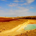
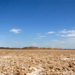
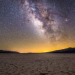
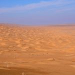
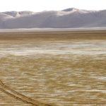
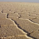
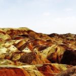
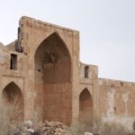
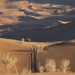
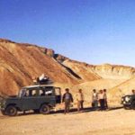
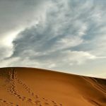
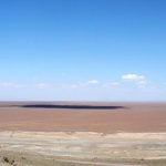
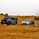
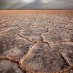
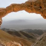
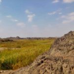
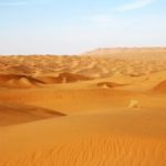
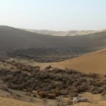
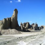
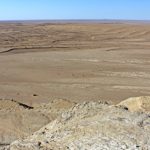
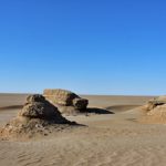
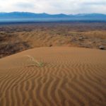
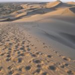
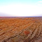
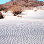
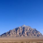
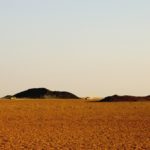
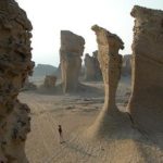
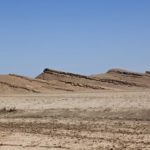
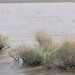
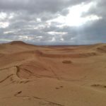
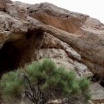
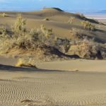
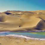
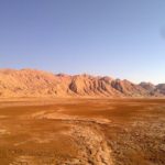
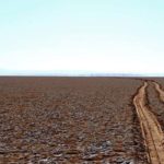
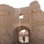
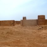
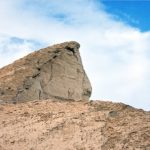
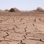
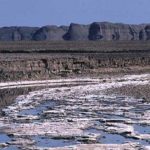
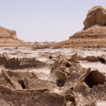
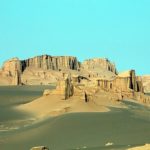
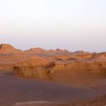
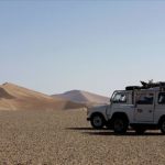
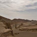
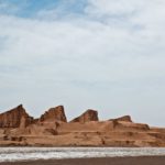
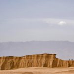
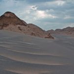
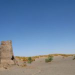
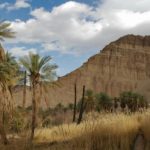
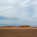
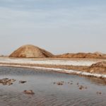
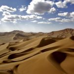
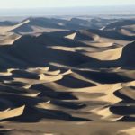
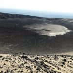
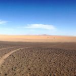
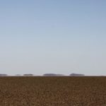
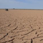
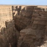
The city of Shahdad is located on the western edge of Lut. Jaftan and Bloor mountains in southeast and east of Kerman, like fence separates Kerman urban area from Lut. Figure 1 shows a hypothetical view of the location of the city of Shahdad and the structural implications of Lot towards Kerman.
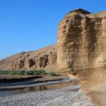
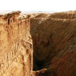
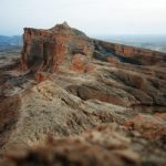
You need to cross these heights to reach Shahdad. Half of the above-mentioned altitudes are igneous (front facing Kerman plain) and the other half towards Lut are evaporative formations of Lut. The second half are cuts about 100 meters high from the plain of Lot. These cuts are 3, starting from the bottom of the syrch and located before Shahdad. Krinsley calls these cuts from the geomorphological point of view of the abyss, while from the perspective of the shape of the rounded lands that differ from one another in height. It is also from this perspective that ‘the city of Shahdad is located downstream of the Shahdad river cone, which originates from the mountains mentioned above. The river has deposited its sediments on these cuts and has partially cleared them.
Read More ...
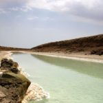
The presence of this permeable alluvial fan (alluvial cone), which is highly permeable, is very effective in supplying water to Shahdad wells. At present, due to the droughts of the past few years, the said river, which enters the Lot from the Sirch Valley, is transported to Shahdad by a concrete canal and used for irrigation of agricultural lands and gardens. Unfortunately, the city of Shahdad is losing its population due to lack of facilities and reliable water resources. Of the approximately 6,000 people in the last few years, only 2,000 remain in the city. It is necessary to change the income situation of the people in this region from agriculture to other sectors (tourism industry services etc.).
The word lute means naked and without anything (Mostofi 1348). For the first time, Muhammad ibn Ibrahim ‘eleventh-century historian’ used the word Lot in his book “Through the Desert of Lot to Khorasan …”. Mostofi claims that anyone in the Lutheran region of the desert would be miserable and wandering in the name of Luti, meaning he has lost everything. Even the word is used in Turkish (Azeri) with the same meaning, for example, “Nihu Lovat al-Moussun” means “why bare”. Some have also stated that the word Lot is derived from the name of the people of Lot, Prophet Abraham’s brother, although the attributes mentioned in the Qur’an and the Torah correspond to Lot’s terms. It is interesting that the same conditions of the Iranian Lot (the presence of cloaks and sand dunes) in the south of Bahrain are also called the Lut people (3). There is also a tomb around the town of Ravar that people believe belongs to the Prophet Lot. It should be said that the word Lut was used by the Arabs after conquering Iran while crossing imaginary cities (clauses). What is certain, however, is that nakedness, meaning that there is no vegetation or water, are two essential elements of human and animal life in the past. For this reason many locals were afraid of going to Lot and still have.
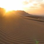
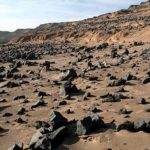
Lut Desert lies between 28 and 32 degrees north latitude, 900 kilometers wide and 199,000 square kilometers. The northern boundary of Lut to the Tabas ‘Nayband and Birjand heights’ is the eastern limit to Nusrat Abbas and in the west to Ravar and Shahdad and the southern limit to Narmashir, Reagan and Mount Bazman. Three major lute events include the cloaks in the west, large sand complexes in the east, and the Rigi Plains in the north and south. There is still no report of a person passing through the large sandy complexes of East Lut, but for the first time, Mostofi with a German in 1348 crossed the widths of the whales.
Most foreign historians have divided Lut into geopolitical northern and southern parts, both geographically and politically. While Mostofi’s research at the Institute of Geography of Tehran University has divided it into three sections:
– North Lot or Khorasan Lot or Basiran Lot (from Ravar to Birjand and Nosrat Abad) which is mostly sandy plain and a place for harvesting and wind deposits.
– The central lot, which covers the southern part of the path to the 10th Salm, and includes the true Lut scenery, the plains and sand dunes.
– South Lot, also called Lot Zangi Ahmad, is limited to the Imperial Mountains (I did not find such a mountain on the map, perhaps referring to the mountains leading to Sabzevar, which is also called Jiroft and is currently prominent). The northern boundary of this area is the plain of Baluchistan and Kashat until Bam road to Zahedan.
The desert is also called Lut, with various names such as the Lut Hole, the Low Plain and the Lut Desert. Given the desert’s definition that water, soil and salt exist together, and not all loot conditions, it is more appropriate to use loot desert. Also because the plain means flat and smooth and there is low and high elevation throughout the lot, so the lowland is not a good term for it.
Whites
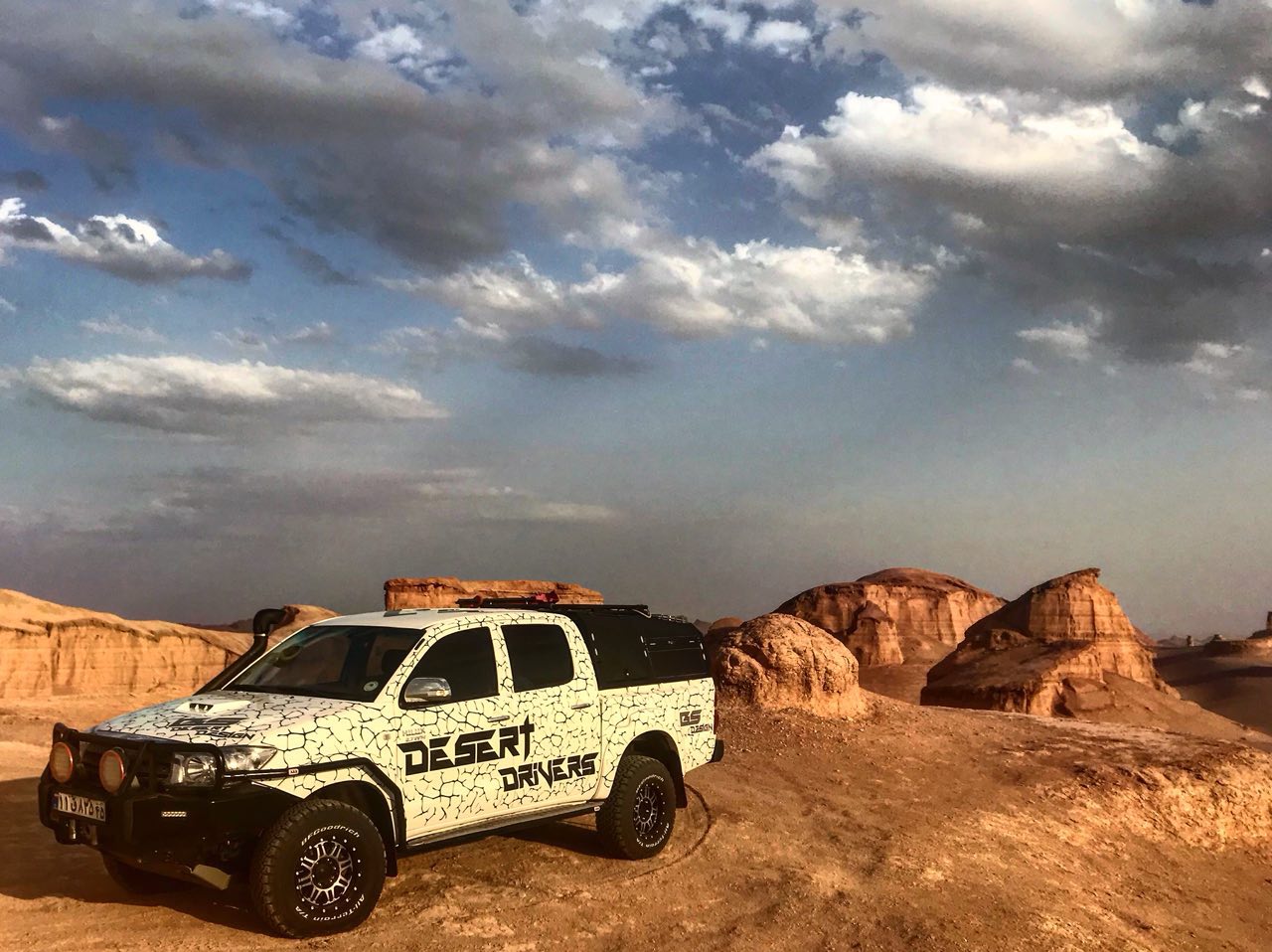
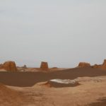
They may be the most important complication of lute. The word Kalut, which is a Baluchi word and the Baluchi are an Iranian ethnicity, is composed of two parts: whole and Lut meaning the city of Lut. In many parts of Khorasan and Sistan, the word Kalate is still referred to as Abadi. The city of Lut or the city of Lut is a variety of hills of clay and plaster. These effects, which cover almost all of the western surface of central Lut, are caused by wind and water in the form of old demolished buildings that seem to have lived there in the distant past, while agricultural and agricultural development is not present
The western margins of Lut
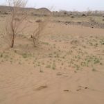
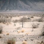
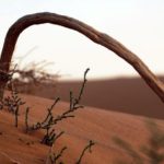
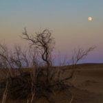
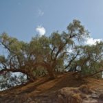
Vegetable nests or nebkas are complications that occur mostly in areas where the sediment is transported and transported. This form of land is found by growing a plant and trapping sand particles at their feet. As the plant grows, the amount of wind increases at the plant’s foot increases. The height of material collected at the foot of the plant may reach several meters. An Nebka Goes Through the Stage of His Life Mahmoudi (1356) describes the stages of the birth and death of an Nebaka in detail in a growing article on geography. These nebkas appear to be at the peak of their evolution, and any interference with them will cause them to collapse.
Given the relatively saline groundwater near the surface of the Shahdad River to the northeast of the Shahdad River, which eventually flows into the cloaks, conditions have been provided for the growth of the kingfish. With the growth of these trees, the height of the nebulae of this part of the lot is very high and unique.
Every year on the sand and gravel collected at the foot of the nebkas sheds some leaf and branch debris. Due to the rate of decomposition of these materials in the desert, ‘the organic matter they produce decomposes rapidly and disappears. Probably because of the lack of moisture, the ‘high rate of decomposition of organic matter and the size of the particles
Sand ‘These materials with the particles and materials collected at the foot of the plant cannot create the bridges needed to form the soil structure. For this reason, no soil structure was observed in the western Nabakas of Lut visited.

