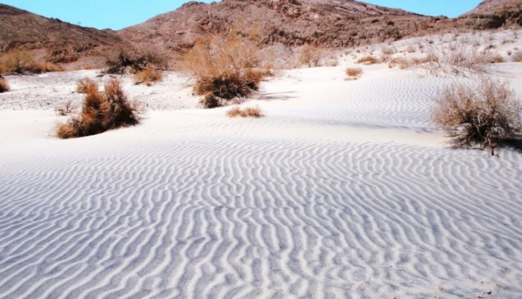
Dagh Mehriz is located at N310724 E545023 geographical location in Yazd province. It is located 60 kilometers southeast of Mehriz city near the border of Kerman province. The clayey soils are closed by clayey soils, which become clayey marshes in the rainy season. The fork has a southeast-northwest extension and is oval. Its large diameter is about 1.3 kilometers and its small diameter is 500 meters. The prairie is devoid of vegetation but on the periphery it is a steppe vegetation such as plain sagebrush. According to studies carried out in the summer of 2000, 115 plant species were identified in the region, including: Astragalus, Wild Spinach, Thyme, Cacti, Ornithium, Wheat, Anemone, Arctic, Lily. , Melika, Kharashtar, Mir Hassan hat, Karavanak, Ephedra, Scenebil, Taj, Sheikh, Parand, Gaz, Flax, Chamomile, Desert Night, Bitter, March, Salt, Colpore, Shirin, Peanut, Wild fig, Kassor And corm.
Precision elevation is about 1670 meters above sea level and is fed seasonally by eastern, western and southern altitudes. Scattered heights are visible east and west of the canal, which extend along the western flank. Access via the Mehriz Road to Pomegranate Road After Abolfazl town, a 10km long dirt road leads to Mehriz Creek. The deserts of this area are a good place to lay valuable and scarce Huber bird and animals such as deer, jagir and borough.


