The prevailing climate in the region is dry and desert. The highest and minimum absolute air temperatures are reported at Bashrouieh station at -49 and -27 ° C in high-temperature northern border villages of Bashrouieh and the western and southwestern villages that have elevations of They have a lower temperature.
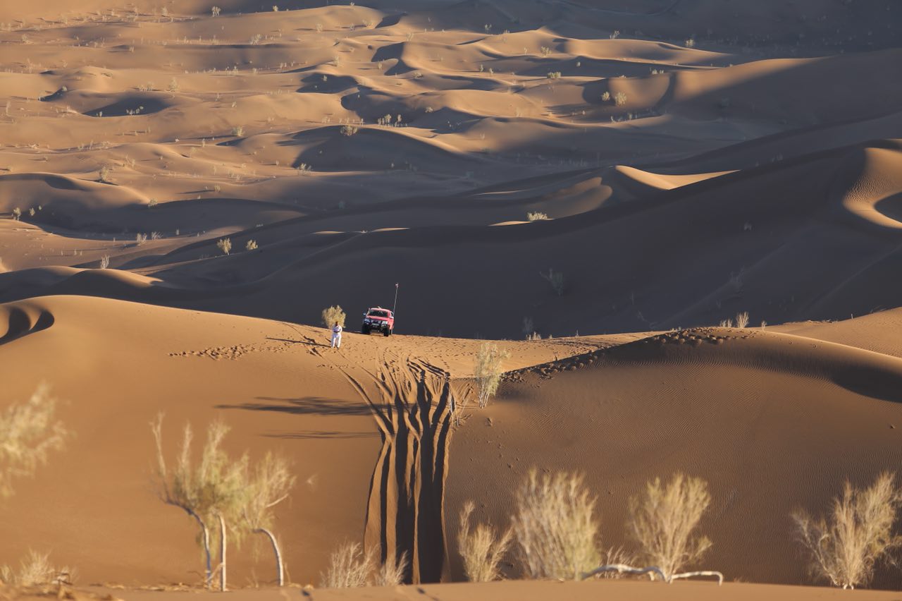
Boshruyeh Rigar is located east of Boshruyeh city in South Khorasan province. It is bounded on the southeast by the city of Boshrouyeh, on the east by the salt desert of Boshrouyeh, on the north by the city of Kashmar, and on the south by the Cal-Sal River. The width of the sandbar is about 30 km in the widest part and about 24 km in length. In the eastern regions, the hillside is covered by hills with scattered salts. The highest hills are in the southern region at about 70 meters.
Read More ...
In the southern and central part of the sand dunes are mainly east-west direction and in the northern part the height of the dunes is decreased and no clear direction. Sandy vegetation is denser in the north and thinner in the south. This cover mainly consists of sandy plants such as butterfly and squash, which can also be found in plant communities such as Nessi and others. The animal cover of the area is: desert sage, hawk, toothbrush, jackal, wolf, sand fox, sand cat, agama and jaco, horned snake, snake beetle, parsley snake, camel snake, etc.
Situated in the eastern part of the Roshasar Desert of the salt of Bashruyeh. From the south it leads to the city of Bashiruyeh, to the west to the village and agricultural lands of Ghani Abad village and Niganan village, and to the north to the desert of Bejestan. The desert extends northeast of the city of Bashruyeh, with a length of about 90 kilometers, while the width of the desert is at most 20 kilometers. The desert cover consists of puffy clay-alkaline terrains and the central part contains wet clay deserts. Salt in the desert contains sodium and magnesium sulfate, which have been extracted in recent years. The average rainfall in the region is about 150 mm / year and the average desert height of the open waters near the city of Bashruyeh is about 850 meters, which is significantly reduced by moving north to about 770 meters. The desert vegetation is mainly on the periphery of the desert and includes saline-friendly plants such as gazelle and henna bushes. No vegetation is visible in the center of the desert. Medicinal and industrial plants such as tragacanth, turmeric, cumin and other herbs are other plants in the area. On the fringes of the desert are agricultural lands. Most of the Bashruyeh agricultural land is irrigated mainly by deep and semi-deep wells. Agriculture is based on the groundwater resources and prone land of the region, and the major crops are cotton, barley, wheat, and pistachio, although pistachio cultivation and harvesting has been performed well in the old days, but has recently gained special prominence.
There are no permanent rivers in this area, and most of the runoff during the runoff is runoff and floods in the area, most notably:
Vali Qale River: The source flows from the southeast to the north and flows into the Salt Desert. Risso River: It originates from the southern highlands along the northern route to the Waaghi River that forms the salt marsh. Fath Abad River: From the heights of Jamal Mountain, on the outskirts of Fath Abad village, enters the plain of Boshruyeh. Callafak: It starts from the Koranjiri Heights west of the area and joins Callafak near the village of Afafak. The flood of this callus plays a role in feeding groundwater aquifers. Kalashour Ferdowsi: East of Bushruyeh plain after crossing east of Nignan village to salt desert.


