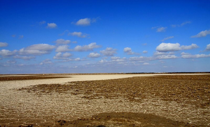
Rabat Khan Desert (Camel Ridge) is located in geographical location N3338 to N3306 North and E5519 East to E5559 East in Yazd province. From the north to the salt lake in the central desert of Iran to the south, the new Yazd-Tabas communication axis to the west is bounded by the Khor-Yazd communication axis, and to the east of Rabat Kal Mard, Uncle Hassan Springs and Rabat Khan. The area of this desert is covered with sand. The shape of the rainbow is similar to the two horns of cows that intersect in the south and separate in the northwest and northeast directions. Between these two parts is the southernmost salt lake. Your length to the south of the Rigidar is at most 80 km and its western width about 70 km. The hills are generally short and reach 50 meters in the highest case.
Vegetation
The vegetation of the area is mainly sandy plants such as butterfly, scabby, nessy, etc. which due to the high salinity of the soil bed and dehydration, is smaller than other Iranian sandstones.
wild life
The animal cover includes all kinds of snakes, scorpions, sand cats, sand foxes, jackals, wolves, hawks, hobre, crocodiles, flywheels, agama species and desert gecko, etc.
access
Access to this area from Yazd to Tabas communication axis, Robat Khan can be reached. This area can also be accessed offshore from the city of Khor in Isfahan province.


