Daq Tal Hamid is located at geographical location N3303 E5547 in Yazd province. The area is located south of the Rig Camel, 25 kilometers east of Rabat behind almonds and west of the highlands overlooking the Naibandan Wildlife Refuge. The area is in the form of desert playa with crystalline salt traces on the ground and lacks any vegetation. It has a north-south range and is about 25 km north-south and about 7 km west-east. The altitude is about 774 meters in the northern areas and in the vicinity of the sand camel sand is about 774 meters in the south. 795 meters. The western highlands of Daq and a main river that flow from the highlands overlooking the Nayeban to the east feed. Access to this area is possible via Yazd Road to Tabas after ligament behind almond and 3 way Khor-Tabas towards Tabas (20 km after three way). Tal Hamid lies west of where American helicopters crash.
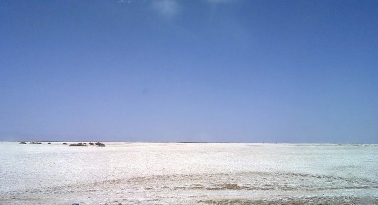
Tal-Hamid playa
About Author
You Might Also Like This
-

Bagher Dozdoo playa
-

Sargardani longitudinal sand dunes
-

Rig Kalleh desert
-

Central Desert of Iran, Center of the Desert
-

Doshakh playa
-
Garmsar’s Safaeieh playa
-

Dagh-e Robat playa
-

Salty dolphins of central desert
-

Southeast areas of the Rig Jen
-

Rig Jen
-

Introducing Rig Jen
-

Eshtehard playa
-

masileh playa
-

Shour-Ab playa
-
Delazian playa
-

Khovrian playa
-

Ardakan dunes mount
-

Bashrouyeh Desert & Playa
-

Robat-e Khan Desert
-

Hemmatabad desert
-

Halvan Desert
-

Rigan Desert
-

Par Hasinoo Desert
-

Ghoom Tappa Desert
-

Kaboodan Desert
-

The Rig jen , the Land of Legends
-

Tabagheh (black salt) playa
-

Khazri Stone Bridge, bayaz Plain
-

Samsour Desert
-

Crossing of the low Width the Rig Jen
-

Navigating the Rig Jinn tail from Allahabad to Nakhlak
-

Goodtwo garden Area (chaleh chah), Rig jen
-

Sirik Desert
-

Sargardani longitudinal sand dunes
-

Tal-e Khakestari hill
-

Chaleh Sombak – Sombak Pit
-

Rig Boland dunes
-

Ghadir-e Asb salt lake
-

Mehriz playa
-

Arnan playa
-

Esmaeil Mahloo playa
-

Sayeh Khosh Desert
-

Hoz-e Morreh salt lake
-

Estabragh playa
-

Sadegh abad sand dunes
-

Abu-Ghuyer desert
-

Soffeh Darou natural stone bridge
-

Chah Jaam Desert
-

Namak river canyon
-

Mish Mast dunes
-

The Legends of Rig Jen
-

Darak desert
-

Siazgah desert
-

Kouh Surkh desert
-

Dashti region’s Kaluts
-

lut desert
-
Princess Mahan’s Garden
-

Lut Desert
-

Investigating the desertification of Hamoun
-

Introducing Shahdad
-

Until the mysterious hichestan
-

Kerman hidden wonders
-

Trip to the Lut Desert
-

Journey to the Lut Spa
-

Shour River, Shahdad
-

Natural Keys of the Lut Desert
-

Tourism in the Lut Desert
-

Lut Desert
-

In praise of Lut
-

The legendary desert
-

Lut, a place between death and life
-

Geology of the Lut Desert
-

Geomorphology of the Lut Desert
-

Weather in Lut Desert
-

Animal and Vegetable Life of the Lut Desert
-

Archeology of the Lut Desert
-

Historical Geography of the Lut Desert
-

Agricultural Geography of the Lut Desert
-

Survey of the Lowland Habitat lut
-
Malek Mohammad hole, Lut’s eye
-

Gandom Beryan
-

Kalut
-

Yalan Dunes & Gholleh Rig hills
-

Boland-e-Nadideh area, central Lut desert
-

Gandom Beryan volcanic cones
-

Gomestan, North Lut
-

Dasht-e-Sar desert, Central Lut
-

Reza Hussein, North Lut
-

Dry River Valley (Khaskud River), North Lut